coptrz
Fixed Wing Mapping Drone
Fixed Wing Mapping Drone
Couldn't load pickup availability
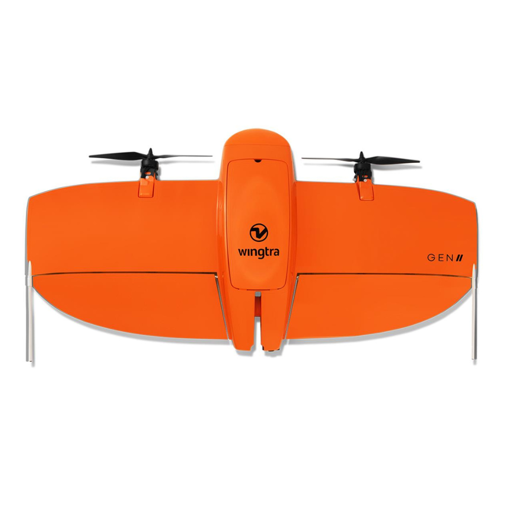
WingtraOne GEN II
"A mapping drone for the fastest & most accurate surveying data every time"
Blue sUAS Program Approved
Proven Globally. Over 3x more efficient for 3000 acre industrial complex surveying projects compared to multi-copter drones.#
VTOL Fixed wing mapping drone.
Elite Survey Detail:
Equipped with variable payloads options when purchase, from the Sony 61MP full-frame camera to less specialised cameras like the a6100. Market-leading absolute horizontal accuracy capturing detail down to 1cm & purchase options for Lightweight Multispcetrum sensors. LiDAR ready capability integrated with NovAtel leading GNSS module & inertial Labs IMU module, delivering the best accuracy down to 3cm across large areas.
Supreme Reliability:
More than 6 years of research & development, predictive self-diagnosis for component malfunction, & over 300 quality tests and in production. This is as market leading drone from Switzerland. This manufacturer has crafted a product to ensure the most up-time & most coverage for your mapping projects.
Mapping Efficiency:
Lithium-Ion Battery giving up to 59 minutes of low payload flight, ready to cover & capture 300-400 Hectares at 2cm/px accuracy up to 11x faster than multi-copter drones.
Durable & Resistant:
Manufactured in the US and globally approved, this drone is IP54 certified, making it resistant to dust and rain.
Leading Range:
Tested Maximum flight ranges up to 10km with indirect lines of site, with unparalleled detail capturing at range, with maximum expected coverages of 250/300 hectares per flight at 120m altitude.
RGB61 - 310 ha (760 ac) 1.9 cm (0.74 in)/px GSD
A6100 - 240 ha (600 ac) 2.4 cm (0.93 in)/px GSD
Made To Order: Enquire today to empower your service.
Share


